Feature Extraction
We show about Feature Extraction
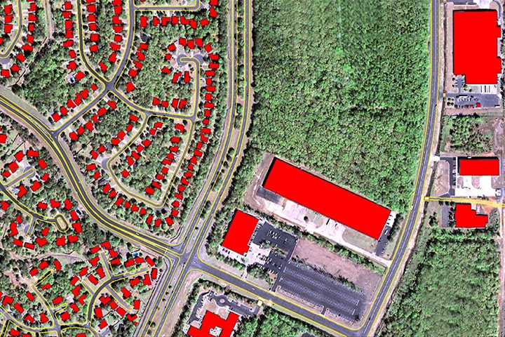
Government agencies need information about land features for town planning; Energy companies require information about their resources and assets under exploration; Defense units require accurate spatial description to plan military operations; and disaster recovery teams need digital maps with detailed description of areas where rescue operations must be conducted.
einfomaps offers feature extraction services that allow you to extract features of an object from images and information captured by GIS systems.
Our feature extraction offering includes the following:
Image segmentation and classification
2D and 3D feature extraction
Base mapping
Land use cover mapping
3D topographic mapping
Development of feature maps complete with geospatial information about each object