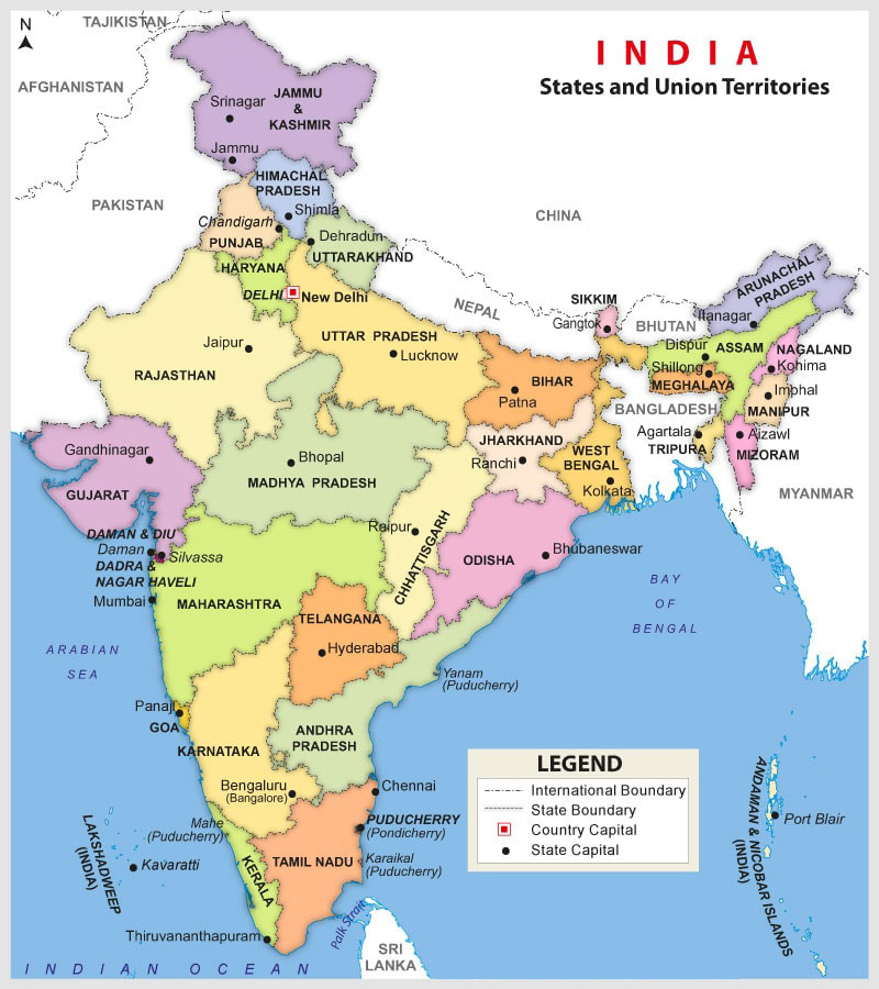
Thematic Mapping
We show about Thematic Mapping
Satellite images are common source of information for multiple domains and industries. For a geologist, it is a source of information for mapping lithology, geological structures, and geomorphologic units. For a town planner, it is the source of information for existing land use land cover. For a real estate manager, it is the source of information for change detection analysis.
Environmentalist look upon satellite images as a data warehouse for environmental impact assessment. Forest conservationists need these images for species segregation and delineation of ecologically sensitive areas.
The multi-disciplinary team of domain experts at einfomaps, excels in thematic mapping to cater to these wide verity of domains.
Our services include, but are not restricted to, the following:

