Photogrammetry & Remote Sensing
We show about Photogrammetry & Remote Sensing
The core of our competency lies in the expertise of providing geospatial solutions to the multifarious clientele in wide domain areas. We integrate knowledge, technology, people, and business with geographic zones to develop innovative and potential services to local as well as global clients.
Our high-precision Photogrammetry and remote sensing services are offered at extremely rational prices that make us competitive among the other Photogrammetry and remote sensing companies in India. Our services allow accurate and cost-effective data collection that proves to be an important input for planning and designing of Photogrammetric GIS projects.
einfomaps provides complete solutions for all standard tasks in digital photogrammetry services such as aerial triangulation, DEM / DTM generation, photogrametry mapping, stereo compilation, topographic and planimetric feature extraction, orthophoto production, color balancing, mosaicking and tile generation, pan sharpening, contour generation, 3D terrain visualization, orthophotography services and LiDAR data processing.
Our expertise in remote sensing branches out to meet classification, image correction, image enhancement, image processing, and change detection services. einfomaps, Aerial Photogrammetric services serve as an excellent tool in GIS projects to correct any topographic and radial distortions in the earth’s environment. Such photographs for instance, serve its purpose in thermal remote sensing for earthquake research. Using the aerial photographs provided, we generate the best GIS layers, as raster or vector to serve your requirements. Our well-knit solutions for Photogrammetry and remote sensing services give you, data accuracy and performance throughout the project life cycle. Our task is to understand the customer’s needs and processes and implement innovative technologies smoothly. To do that, we offer extensive services to help customers analyze their business processes and integrate our products and services in the most productive way.
We have state-of-the art facilities in India for offering services that covers a wide range of Photogrammetric service requirements. Our services are intended to meet the diverse needs of our clientele quickly and efficiently and our project methodologies are based on the unique set of customer requirements and challenges. Now most of the organizations round the world are outsourcing Photogrammetry and remote sensing services to India. We offer services that cover complete offshoring Photogrammetric requirements outsourced to us.
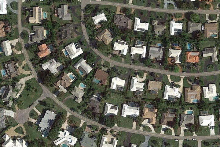
Photogrammetry allows you to obtain reliable information and measurements of physical objects from photographs and use them for development of maps, drawings, or 3D models of terrains. Aerial images require pre- and post-processing using photogrammetry before they can be used to extract valuable geodata.
einfomaps offers the following Photogrammetry services for images captured using a range of remote techniques: